NORTHEAST ASIAN HISTORY FOUNDATION 10/2023
the Cover
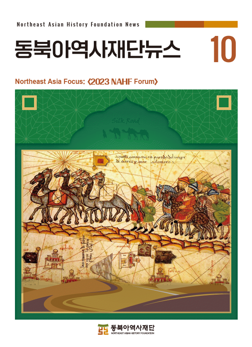
The party of Marco Polo heading towards China
The Catalan Atlas was influenced by Marco Polo’s 『The Travels of Marco Polo』. Marco Polo was an Italian merchant and traveler. He set out from Venice in 1271, traveled through Persia and Central Asia, and arrived in Mongolia in 1274, then he stayed in the Yuan Dynasty for 17 years. The northern part of the eastern region picture in the Catalan Atlas depicts the party of Marco Polo heading to China along a vast mountain range that extends to the eastern end.

The user can freely use the public work without fee, but it is not permitted to use for commercial purpose, or to change or modify the contents of public work.
- Northeast Asia History Network
- Northeast Asia History Library
- DOKDO Research Institute
- DOKDO Museum Seoul
- Education and Training