NORTHEAST ASIAN HISTORY FOUNDATION 09/2011
-
Article_Lee Yoonjeong | Photograph_Song Hocheol
The US and UK recently submitted letters to the International Hydrographic Organization (IHO) to present their position that the body of water between Korea and Japan should be only referred to as the "Sea of Japan" in maps, instead of using both names ("East Sea" and "Sea of Japan"). As the US throws support behind Japan, the Korean government's continued efforts to promote the use of "East Sea" face a significant stumbling block. Against this backdrop, the Foundation's Research Fellow, Shim Jeongbo, had an interview with Professor Peter Raper, who served as the chairman of the United Nations Group of Experts on Geographical Names (UNGEGN) and is an expert on the naming of geographical features. _Editor's note
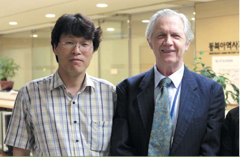
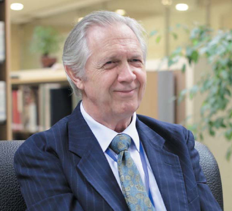
Peter Raper
Peter Raper became a member of the United Nations Group of Experts on Geographical Names in 1984, and served as the chairman of the Group from 1991 to 2002. He is currently a chair professor at the University of the Free State in South Africa. He attended the annual seminars co-hosted by the Northeast Asian History Foundation and the The Society for East Sea Research, and last year he worked as a co-author of an English book on the naming of East Sea, published by the Foundation. As the Foundation's visiting fellow, he takes a keen interest in legal issues regarding the naming of maritime and undersea features.
Shim Jeongbo
Shim Jeongbo graduated from Department of Geography Education at Chungbuk National University, and received his Ph. D from Hiroshima University. Currently he serves as the Foundation's Research Fellow, carrying out research on East Sea and Dokdo in ancient maps and geography textbooks in modern and contemporary Korea and Japan.
Shim Jeongbo: Summer in Korea is quite different from the weather in South Africa. How have you been doing in Seoul since May, and what was your first impression of Korea?
Peter Raper: I did not experience any difficulties here. I cannot believe it has been several months already since I got here, and I am very much enjoying my life in Seoul, thanks to good working environment and the Foundation's support and assistance. Korea is very impressive to me. Unfortunate, South Africa's mass transportation system is in poor condition, and I am impressed by Seoul's transportation system and security management.
Shim Jeongbo: The Foundation was established amid growing conflicts between Korea and China/Japan in the 21st century, with an aim to peacefully resolve historical issues. What brought you to work with the Foundation?
Peter Raper: I first learned about the Foundation when I attended the 13th international seminar on the naming of East Sea co-hosted by The Society for East Sea Research .Last year, I heard about the Foundation's visiting fellow program at a seminar on the naming of geographical and maritime features in The Hague. This year as the Foundation's visiting fellow, I am carrying out research on the naming of maritime features from a legal perspective.
Shim Jeongbo: The study of place names, or toponyms, is pursued in many different academic fields, including geography, history, cultural anthropology and linguistics. Which field do you focus on and what kind of activities have you done after receiving a degree with regard to toponymy?
 Professor Peter Raper
Peter Raper: I studied the place names of South Africa during my doctoral years. As Toponymy covers an extensive range of academic studies, I took everything into consideration and it was very interesting to learn how the current names have survived linguistically. I was also curious about the cultural and tribal influence on toponyms and how these place names have developed and changed. I was interested in the political power and influence of certain place names. After receiving my Ph. D, I served on the South African National Place Names Committee from 1972 to 1999, and was its chairman from 1996 to 1999. In 1984, I became a member of the United Nations Group of Experts on Geographical Names (UNGEGN) and served as its chairman from 1991 to 2002. Before I was invited to join UNGEGN, South Africa did not have a voice in the Group. As I worked for UNGEGN, South Africa had a say in these issues and it facilitated the study of place names in South Africa.
Shim Jeongbo: As you said, you served as UNGEGN chairman for many years. I understand UNGEGN deals with individual countries' policies to standardize place names, issues regarding foreign names of places and Romanization. Could you explain more about the mandate, organization and role of UNGEGN?
Peter Raper: One of the most fundamental objectives and roles of the United Nations is to promote peace in the world by mitigating conflicts between countries and people. UN became aware that issues regarding geographical names could lead to conflicts and disputes between countries, and established UNGEGN in 1965. UNGEGN is an international forum for the standardization of geographical names, and it addresses conflicts between countries. It holds meetings every two years, and they are linked to the United Nations Conference on the Standardization of Geographical Names (UNCSGN). National governments are invited to UNCSGN, which is held every five years, and resolutions are adopted at UNCSGN after discussions and deliberation about various issues with regard to the standardization of geographical names. That is how place names are standardized. UNGEGN exerts a significant influence on the naming of seas, along with the International Hydrographic Organization (IHO) built in 1921.
Shim Jeongbo: At the UNCSGN held in New York in August 1992, the Korean government pointed out that referring to the body of water between Korea and Japan as the "Sea of Japan" is unfair. At the same time, it argued that both names - "East Sea" and "Sea of Japan" should be included in maps. What is your view on this?
Peter Raper: In fact, I have been involved in the issue of using the name, "East Sea". South Korea and North Korea joined the United Nations in 1991, and I was UNGEGN chairman when the Korean government expressed its view regarding this issue for the first time in 1992. I also met with Professor Lee Giseok of Seoul National University at the UNGEGN meeting in 1994, and he sought my advice regarding this issue. We looked over UN resolutions together, and Resolutions Ⅱ-25 and Ⅲ-20 clearly stipulate that when countries sharing a given geographical feature do not agree on a common name, it should be a general rule of cartography that the name used by each of the countries concerned will be accepted. As such, from an objective point of view, it is legitimate for the Korean government to assert that the name, "East Sea", should be accepted in cartography. It is also my personal view that the Korean government is doing the right thing. Accepting both names is fair to both sides, and it serves UN's mandate to promote peace and mitigate conflicts. It is also in line with IHO's advice.
 Research Fellow Shim Jeongbo
Shim Jeongbo: The name, "East Sea", appears in numerous ancient literature and maps in Korea, including Samguk Sagi (Annals of Three Kingdoms), inscription of the Great King Gwanggaeto of Goguryeo, Paldochongdo (Map of Eight Provinces), Agukchongdo (Comprehensive Map of Korea), among others. Nevertheless, the Japanese foreign ministry argues that the "Sea of Japan" is the single, official name in the international community, citing ancient Western maps in major libraries of the world. What do you think about Japan's argument that any name other than the "Sea of Japan" can be accepted?
Peter Raper: As you explained, I understand the name, "East Sea", has been used for more than two thousand years by Koreans. Japan's view is only based on the fact that Western maps in the 1800s carry the name, "Sea of Japan". I think Japan's claim is not legitimate at all. Recently I read an article regarding this issue, which explored whether it is more important for toponyms to have historical legitimacy, or to use them as tools in political power games. I think Japan wants to win in a power game by defending the name, "Sea of Japan". Such positions and behaviors provide typical reasons for conflicts and aggressions between countries, and that is why UN holds the view that all countries' sovereignty should be appreciated and all geographical names should be accepted.
Shim Jeongbo: Japan claims that the body of water between Korea and Japan is not a shared geographical feature between two countries but a high sea, that is, part of international territories, and that UN resolutions are not applied here. What do you think of this?
Peter Raper: If Japan's view is accepted, then Japan cannot claim sovereignty over the given geographical feature. As such, both Korean and Japanese names should be accepted.
Shim Jeongbo: Neither Korea nor Japan would make any concession regarding the issue of naming the body of water between them. It seems that this issue will stay around us for quite a long time. Do you have any good solutions to this issue as an expert in toponymy?
Peter Raper: According to maritime law, countries can claim sovereignty for offshore territories that extend to a distance of 200 nautical miles, and for high seas beyond the limit, they have the freedom to use and promote the names they prefer. For example, the Korean government can issue an official statement that it wants other countries to use the name, "East Sea", for the body of water between Korea and Japan. It is of crucial importance that the government should make efforts to encourage the international community to accept the name, and make a declaration in the press worldwide. I recently met Professor Lee Giseok, and I heard about an interesting idea. We can take the advantage of the 2018 Pyeongchang Winter Olympic Games, by including "East Sea" in brochures and leaflets, and using a map with the name "East Sea" in media walls for broadcasts, awards ceremonies etc. The eyes of the world will be on the winter Olympics, and it will be a great opportunity to promote the use of "East Sea" worldwide. This will be a very effective way to enhance public awareness, when the organizing committee for the Olympic games adopts the plan.
Shim Jeongbo: Many Korea-Japan and Korea-China historical issues dealt by the Foundation cannot be resolved in a short period of time. These are issues that require us to carry out long-term research, collect relevant documents and analyze them. Do you have any comments to make to the Korean government or to the Foundation regarding how to resolve the issue of the naming of the sea between Korea and Japan from a long term perspective?
Peter Raper: I understand that UN Resolution Ⅲ-20 has contributed greatly to mitigating the conflict, and more and more mapmakers in the world are including both names in their maps. As Korea promotes the use of "East Sea", it should also rectify incorrect names and errors in maps. The Korean government and the Foundation has an important role to play in this regard, and I know the Foundation is making continued efforts to resolve this issue. The Foundation published《Geographical Issues on Maritime Names》, which includes the outcomes of 16 international seminars on maritime features, and I trust that the book will make a great contribution to Korea's efforts to promote the use of "East Sea" in the international community. This book is the first in a series of upcoming publications, and as the Foundation's visiting fellow, I am examining the papers presented in previous seminars and organizing additional material with a view to making the next book. Now that the first book is published, I think it is equally important to present the book in the press and organize events for the book. Promotion and public relations management are critical in raising the awareness of this issue and encouraging the international community to accept "East Sea".
- Northeast Asia History Network
- Northeast Asia History Library
- DOKDO Research Institute
- DOKDO Museum Seoul
- Education and Training